Good morning!
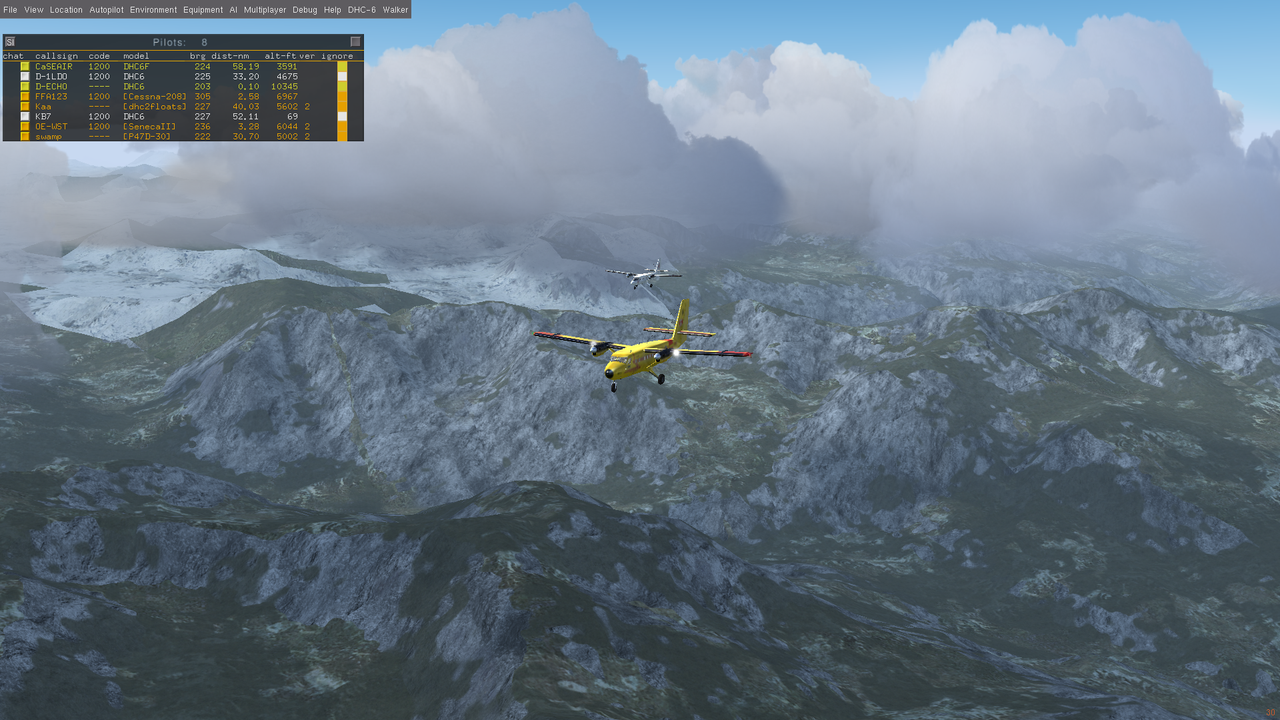
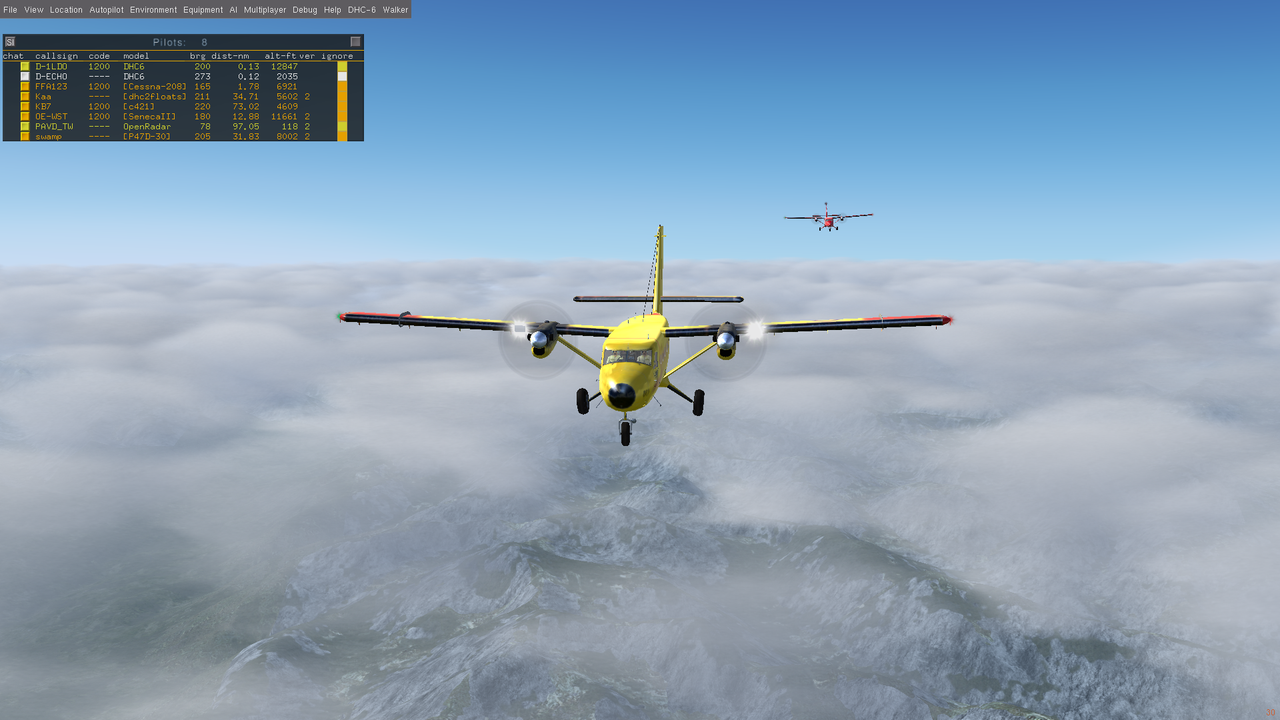
A couple of additional notes on flight day.... Lotsa stuff here but the point is to just have fun and let others have fun flying together.
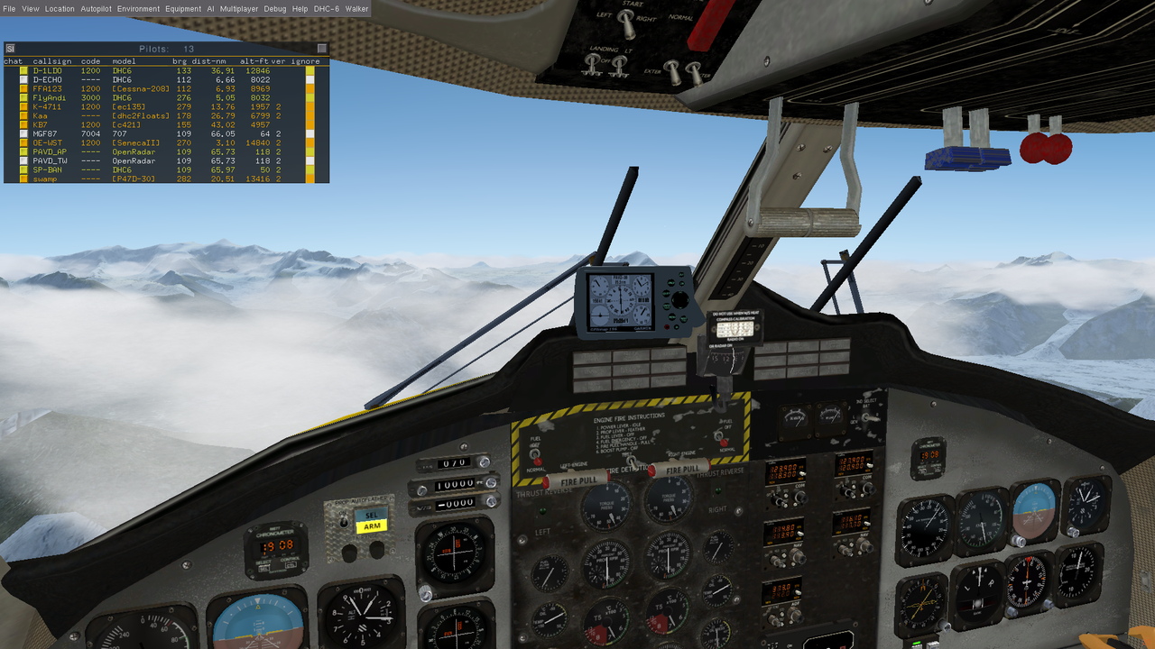
When you start up multiplayer, please use "Visible to All" on settings (if you see that setting...) It affects not only others seeing you but also the text chat mechanism. As always with MP events, please do NOT connect to multiplayer when on a runway - step off to taxiways or parking. Please DO announce your connection when possible. Comms will be either through the chat interface or voice on Mumble at server itpns.ddns.net, there is a room in Events. (Don't have Mumble? Get it at
https://www.mumble.com/mumble-download.php )
If you're planning to use Route Manager, a couple of the waypoints in the earlier plan do not work. Here's a revised link that will work:
https://skyvector.com/?ll=61.7512348895 ... AMX%20PAYA
The revised waypoints are:
PAHO (Start)
JLA
PAAQ (Palmer Municipal Airport, near AK1)
PAVD (Valdez Pioneer, the Midpoint)
PAMX (McCarthy Airport, near MYK)
PAYA (Yakutat, destination).
Takeoff Homer: Homer airport (PAHO) taxiways only serve runway 4. If you're flying a Storch or something we'll make do somehow but plan on runway 4 takeoff using taxiway on whichever side you spin up on. Runway length is 6701, elev. 70. Current metar as of posting this: PAHO 241453Z 36003KT 10SM SCT065 05/04 A3001 RMK AO2 SLP164 T00500044 55004
Takeoff Valdez: Valdez Pioneer (PAVD) is a fun airport, but it's nestled in a hill valley. If taking off Runway 14, on takeoff make a climbing right turn to approximately 110-120 and gain altitude quickly. If taking off on Runway 32, on takeoff make a climbing left turn to about 100-110. Runway 14/32 length is 6500', elev. 50-120. Current metar as of posting this: PAVD 241456Z 07003KT 10SM FEW002 BKN035 BKN055 09/07 A2998 RMK AO2 SLP176 VCSH NW 60001 T00940072 56006
Landing Yakutat: Yakutat airport has two runways. Runway 11 has working ILS, 111.10, but it isn't served by any taxiways. You should be able to backcourse 29. Runway 11/29 length 7732, Runway 2/20 length 6475, elevation 15-30. PAYA 241453Z AUTO 00000KT 10SM BKN060 BKN120 10/09 A2994 RMK AO2 SLP139 T01000089 57007 TSNO
ATC, when available, is for queuing up takeoffs and landings. Please use either text or Mumble, server itpns.ddns.net, or Flightgear chat. I'll do my best, but it is mountainous region and I don't know the area. All clearances are advisories only and as always pilots are responsible for flying the plane safely. This will be fun mountain flying and elevations vary greatly along the route - hopefully you'll see a lot!